GPT Image 2
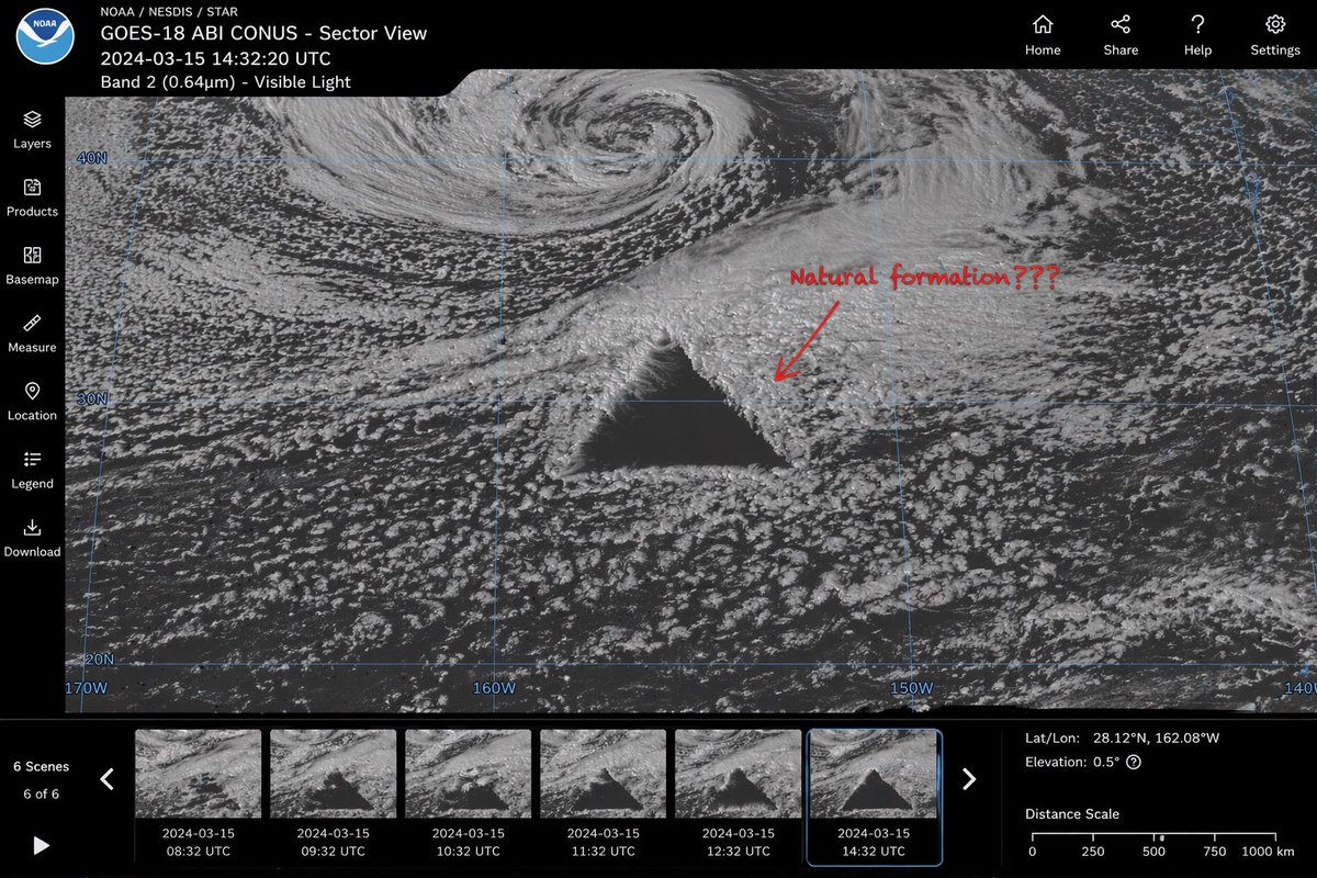
Satellite Spots Perfect Triangle
{
 "type": "satellite imagery web interface mockup",
 "main_display": {
 "imagery": "greyscale satellite view of ocean clouds featuring a massive, perfectly geometric dark triangle\ in the center",
 "annotation": "red handwritten text 'Natural formation???\' with a red arrow pointing to the anomaly",
 "overlay": "faint blue latitude and longitude grid lines with coordinate labels like 40N, 30N, 160W"
 },
 "ui_layout": {
 "top_header": {
 "left_section": "NOAA logo, text 'GOES-18 ABI CONUS - Sector View\', '2024-03-15 14:32:20 UTC\', and 'Band 2 (0.64µm) - Visible Light'",
 "right_section": "4 navigation icons with labels: Home, Share, Help, Settings"
 },
 "left_sidebar": {
 "count": 7,
 "items": ["Layers", "Products", "Basemap", "Measure", "Location", "Legend", "Download"]
 },
 "bottom_panel": {
 "timeline": {
 "controls": "Play button, left/right arrows, text '6 Scenes', '6 of 6'",
 "thumbnails": {
 "count": 6,
 "description": "sequential satellite images showing the anomaly's progression, with hourly timestamps from 08:32 UTC to 14:32 UTC"
 }
 },
 "data_readout": {
 "coordinates": "Lat/Lon: 28.12°N, 162.08°W\",
 "elevation": "Elevation: 0.5°",
 "scale": "Distance Scale bar from 0 to 1000 km"
 }
 }
 }
}