Nano Banana Pro
War Scars on Maps
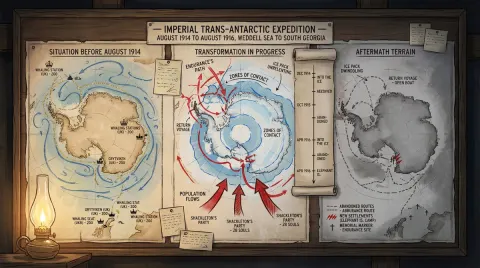
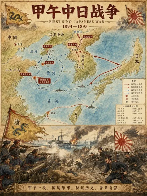
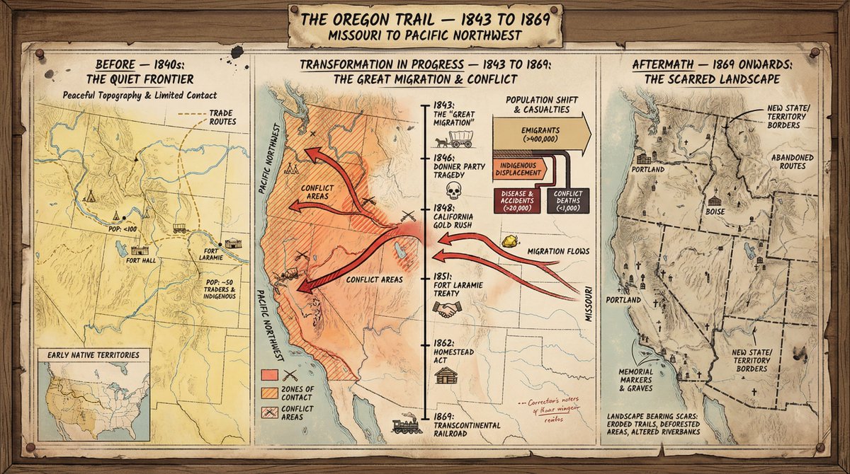
A cartographer's crisis board depicts conflict — era/region. Left section: The situation before the incident—tranquil terrain, golden trade routes, settlements marked with symbols that matched the era, and population markings. Middle section: Ongoing transformation—moving arrows, contact areas marked with gradient intensity, vertically moving timelines, key dates as signposts, casualties or population changes visualized in the form of proportional flows. Right section: post-incident terrain—changed boundaries, abandoned routes, new settlements, monuments, and landscapes bearing traces of the event. The visual style shifts from idyllic surveys to calm surveys to urgent wartime iconography, and then to a melancholic documentary style. Notes are handwritten throughout. The title bar displays "Event Name — [Start Date] to [End Date], [Geographic Scope]".