Nano Banana Pro
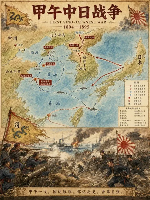
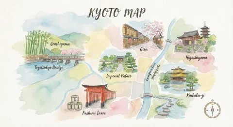
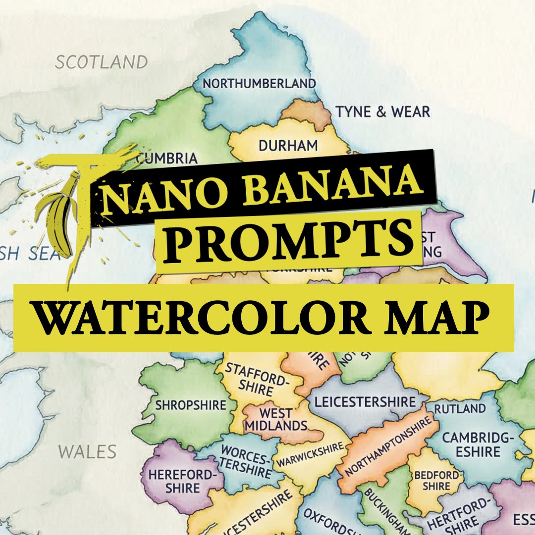
Watercolor Style Country Map Illustration
A detailed watercolor-style map of COUNTRY on lightly textured paper, soft flowing washes in distinct harmonious colors for each first-level administrative division, all federal states, provinces or regions accurately separated by clear borders and labeled directly inside their areas in neat blue ballpoint-pen handwriting, educational and infographic-friendly, clean composition, high legibility, subtle paper grain, gentle shading, refined illustrative finish, balanced negative space, no cities, no roads, no flags, no logos, no watermark, bright clean background