0 copies · 1 views
· by OpenArt Community · Jun 19, 2026
seedream-prompt-thermal-heatmap-of-bogota-.txt
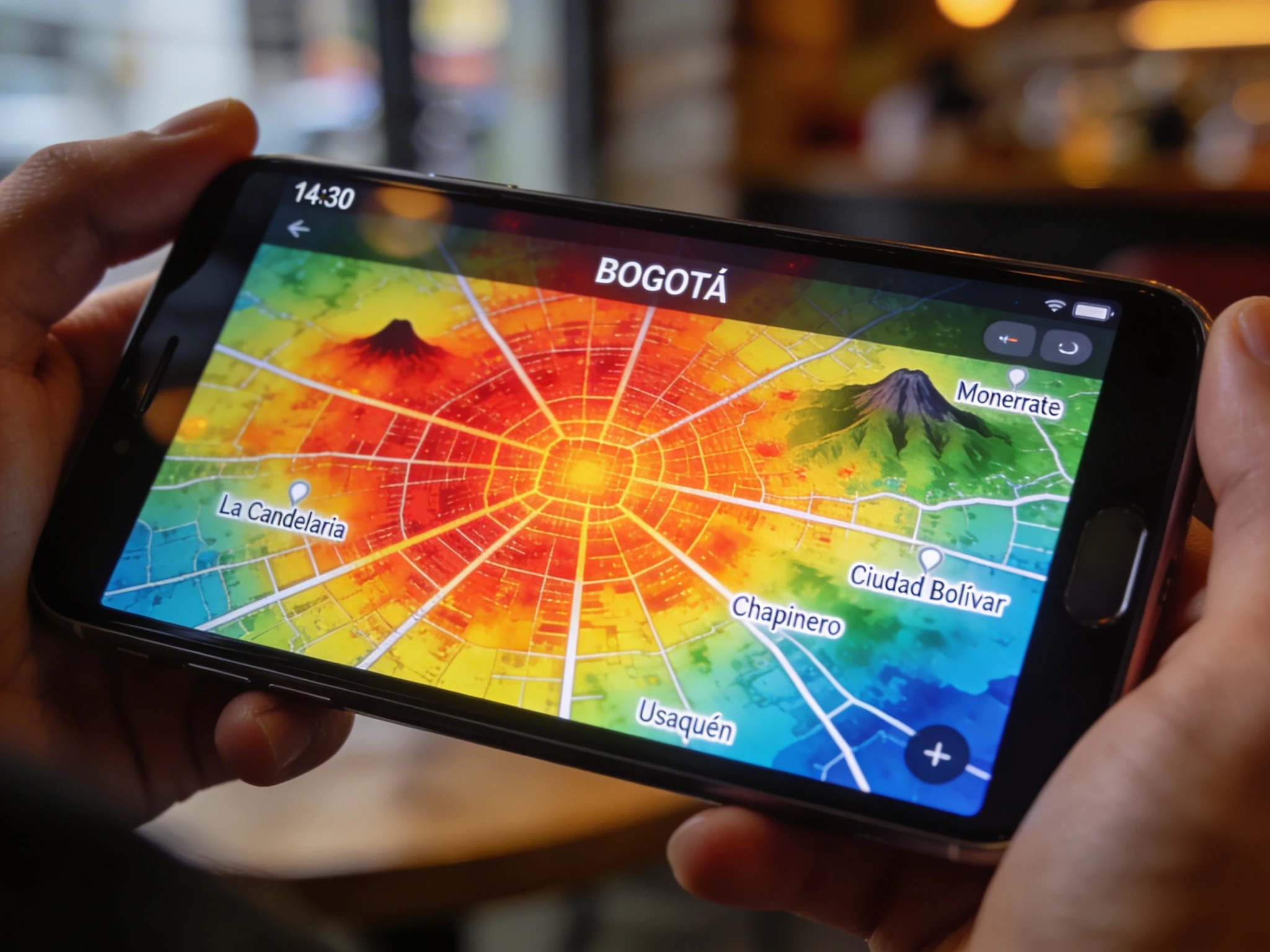
{ "prompt": "A macro extreme close-up photograph capturing a modern smartphone held in a person's hands, displaying a detailed real-time thermal heatmap of Bogotá, Colombia. The screen shows the city map with bright, intense color gradients representing temperature or activity: deep reds and oranges indicating hotspots (such as the city center and main avenues), merging into yellows, greens, and cool blues in less active or peripheral areas. Specific neighborhood names like 'La Candelaria', 'Chapinero', 'Usaquén', and 'Ciudad Bolívar' are visible in small, clear white text overlays on the map grid. The iconic shape of the Monserrate and Guadalupe hills on the eastern edge are distinct. The screen interface looks functional, with subtle UI elements like a time stamp (e.g., '14:30'), a 'BOGOTÁ' title, and zoom controls. The shot focuses sharply on the vibrant screen details and the texture of the glass, with slight reflections of the surrounding environment. The edges of the phone frame, possibly a dark aluminum, are visible, slightly out of focus. The person's fingers holding the device have a shallow depth of field, blurring gently into the background which shows a soft, warm bokeh of an indoor city setting or a café. High resolution, 8k, dramatic lighting highlighting the screen contrast, photorealistic texture, shallow depth of field, 16:9 aspect ratio.", "negative_prompt": "blurry, out of focus text, unreadable map, generic map, wrong city geography, low quality, pixelated, cartoony, aggressive screen glare, hands blocking the view, unrealistic colors, portrait mode, 4:3 ratio", "aspect_ratio": "16:9", "width": 1920, "height": 1080
}

 Seedream
 4.5
Seedream
Seedream 4.5

 GPT Image
 Nano Banana
 Midjourney